
For long-time Miamians, there’s a Before Andrew and an After Andrew.
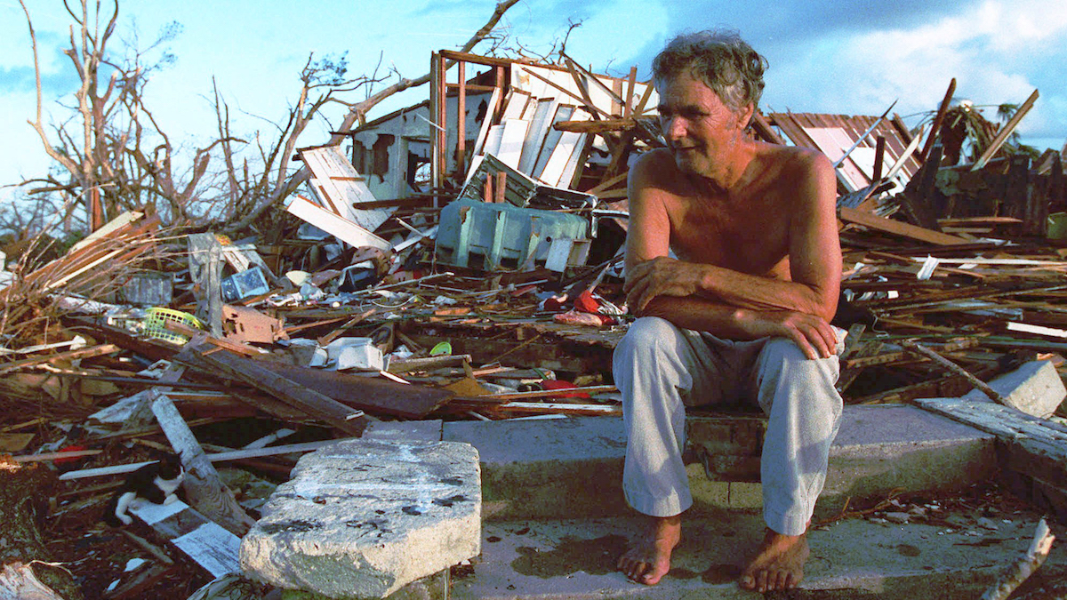
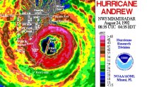
With winds of 165 mph gusting to 200 mph, the small eye of the Category 5 hurricane tore through southern Miami-Dade County in the pre-dawn hours of Monday, August 24, 1992. It flattened entire communities and killed dozens.
For those living between Kendall Drive and Florida City, it was an endless night of haunting sounds from the roar of the wind and houses breaking up all around you. Worse yet, when it was finally safe to venture outside, the sight of what was left of homes and neighborhoods was a nauseating shock to the system.
Hurricane Andrew survivors were left psychologically scarred for life. Today, any new system developing in the tropics is a cause for great concern.
Get South Florida local news, weather forecasts and entertainment stories to your inbox. Sign up for NBC South Florida newsletters.
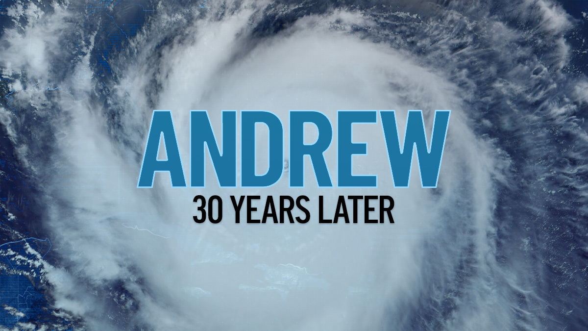
REMEMBERING ANDREW
That's why 2022 is so very eerie. When was the last time we have been this deep into a hurricane season with so little activity? Exactly 30 years ago, in 1992.
I was early in my second year as a broadcast meteorologist back then. As the first-ever degreed meteorologist on Spanish language television at any U.S. station, I got a chance to prove to a very receptive audience (and TV managers) that having someone who knows their stuff is crucial when the proverbial you-know-what hits the fan.
As terrible as Andrew was, it is the career-defining event that cemented my position as the longest-tenured broadcast meteorologist in South Florida, still serving as the first hurricane specialist on NBC 6.
Thirty years on and we see how much our cities and population have grown. Florida and urban sprawl go together like pythons and the Everglades, hard to think of a more welcoming environment for an invader. More homes and businesses have been crammed into what little is left of the sliver of land available for development along Florida’s southeast coast.
In today’s dollars, Andrew caused $60 billion in damage. But another hurricane like Andrew would likely produce close to a $100 billion catastrophe.
That’s why I was so concerned when the National Hurricane Center was forecasting a Category 4 Hurricane Irma to slice diagonally across the heart of South Florida’s megalopolis in 2017. People who had grown accustomed to my non-alarmist style were taken aback by my tone. My worry was that, despite better practices and building codes enacted since Hurricane Andrew, there are just more things in harm’s way than ever.
Plus, with a full six inches of sea level rise since the mid-1990s, an Andrew-like 17-foot storm surge would be able to penetrate further inland and damage more structures.
There is an entire generation of South Floridians who have never experienced major hurricane conditions. We’ve had direct hits from Cat 1s Irene 1999 and Katrina 2005, as well as sideswipes from stronger Wilma 2005 and Irma in 2017. But nothing remotely resembling Andrew.
Also, there are thousands of transplants — new arrivals who have zero experience in dealing with tropical cyclone emergencies. That’s why having an experienced team of meteorologists like the NBC 6 First Alert Weather team means so much.
Another Andrew in South Florida would lead to fatalities and great economic loss, a region left reeling in a multi-year recovery effort. In 1992 it happened during an otherwise inactive hurricane season like 2022 has been so far.
Keep your eyes and ears peeled as we head into September and October.
John Morales is NBC 6's hurricane specialist.
