
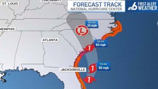
After battering Florida with strong winds, flooding and storm surge, Ian was once again a hurricane and expected to make another landfall, this time in South Carolina, forecasters said.
Ian's winds were back up to 80 mph as it moved north-northeast at 10 mph about 185 miles south of Charleston, South Carolina, the National Hurricane Center in Miami said Thursday evening.
IAN LATEST
Ian was expected to turn toward the north then the north-northwest before approaching the coast of South Carolina on Friday, the NHC said.
Get South Florida local news, weather forecasts and entertainment stories to your inbox. Sign up for NBC South Florida newsletters.
It could slightly strengthen before landfall and was threatening the Carolinas and Georgia with life-threatening flooding, storm surge, and strong winds, forecasters said.
Hurricane warnings and watches were in effect for portions of the East Coast, along with storm surge warnings and watches.
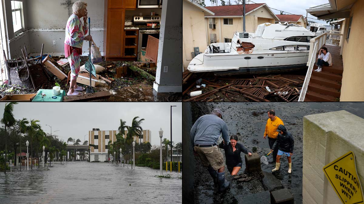
Ian turned streets into rivers and blew down trees as it slammed into southwest Florida on Wednesday with 150 mph winds, pushing a wall of storm surge. Ian’s strength at landfall in Cayo Costa, a barrier island just west of heavily populated Fort Myers, was Category 4, tying it for the fifth-strongest hurricane, when measured by wind speed, ever to strike the U.S.
Ian became a tropical storm as it made its way across the Florida peninsula Thursday and later entered the Atlantic, where it regained hurricane strength.
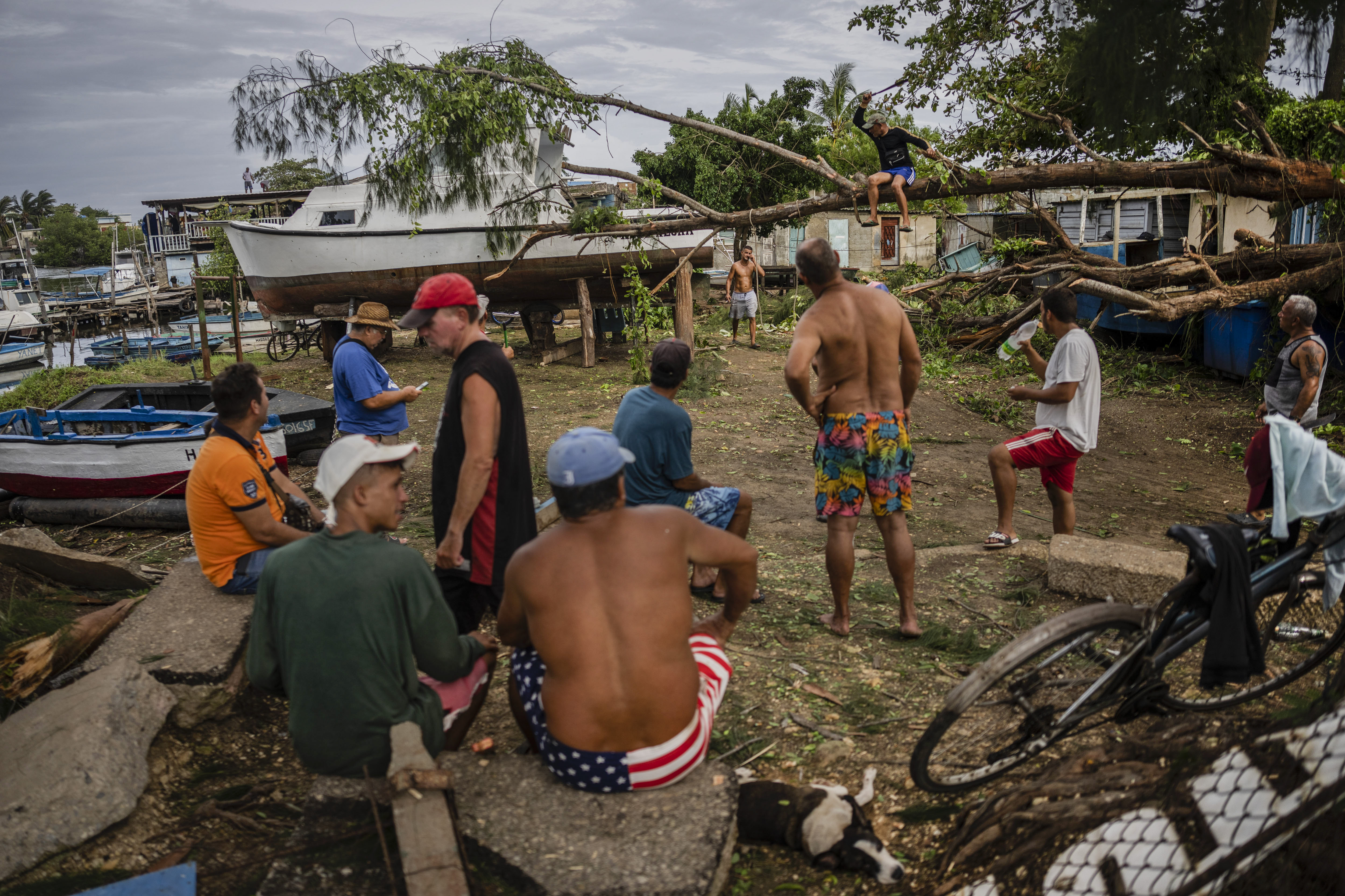
Ian made landfall in western Cuba on Tuesday as a Category 3 hurricane, causing massive power outages in the area and causing at least two reported deaths.
