
Track the severe weather in South Florida from Hurricane Ian with the First Alert Doppler 6000:
Severe weather swept through South Florida including major rainfall, flooding, high winds and damage consistent with possible tornadoes from the outer bands of Hurricane Ian.
One unconfirmed tornado flipped several small planes at North Perry Airport in Pembroke Pines and there was damage consistent with a second possible tornado two miles southwest of Hollywood.
Get South Florida local news, weather forecasts and entertainment stories to your inbox. Sign up for NBC South Florida newsletters.

A tornado watch was in effect for Miami-Dade, Broward and Monroe counties until 5 a.m. Wednesday. A tropical storm watch was also in effect for those three counties.
South Florida will have varying implications based on location. Sustained tropical storm conditions are likely Tuesday afternoon and evening for the Lower Keys. All of the Keys may experience storm surge while Miami-Dade and Broward counties will have on and off rain bands that could feature tropical storm gusts.
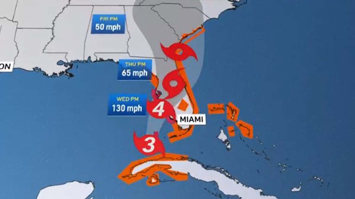
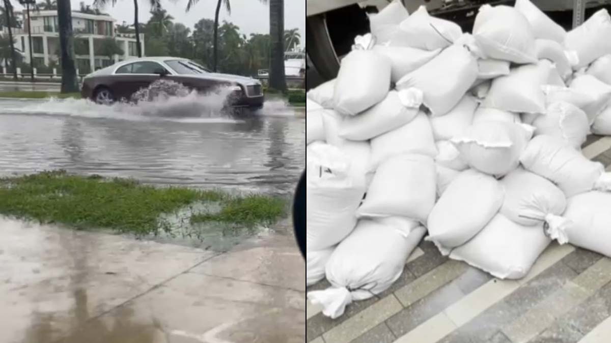
Water will be the biggest problem because of the King Tides. Whatever rain falls will have nowhere to go, so flooding will be the story.
Models are consistent showing several additional inches of rain for South Florida, possibly reaching up to 10 inches in some areas.
Drier air starts slowly moving in Thursday and the weekend looks much drier.
