
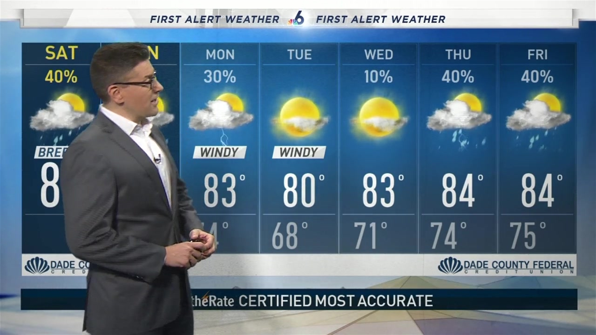
Cold Front #1 is now stalled out around the Keys which means scattered showers and a few storms will streak through the area this weekend.
A Flash Flood Warning is in effect for Broward County until 4 p.m.
It also means our drop in temperatures & humidity is ever so slight as we await Cold Front #2 on Monday. This will come through early Monday and bring down cooler, drier air as the winds whip up out of the north.
Tuesday should be stunning with bright sunshine, zero rain, comfortable humidity and pleasant temps: upper 60s in the morning and near 80° in the afternoon.

Invest 96-L now has a 90% chance of becoming a tropical depression and it could very well be “Eta” in the coming days. Our models are more interesting today, showing this storm tracking in the western Caribbean.
But some models now show this storm turning back to the east or even up to the north next weekend. We’ll need to see a few more model runs before we start to get concerned up here in South Florida.
