
Monroe County Emergency Management was working to advise residents on specific details about the impacts from what became Hurricane Ian on Monday.
In order to assist residents, Monroe County Government offices were scheduled to be open on Monday. Authorities are asking people, both tourists and locals, to continue keeping an eye on the storm.
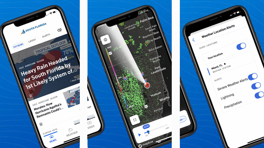
"The impacts of this system extend well beyond the cone, and that certainly is the case," said Meteorologist Chip Kasper of the National Weather Service in Key West.
The main message officials are sending out right now is don’t lower your guard just yet.
Get South Florida local news, weather forecasts and entertainment stories to your inbox. Sign up for NBC South Florida newsletters.
"We’re just making sure everybody’s getting ready and doing the right thing, getting boats out of the water, getting cars out of low-lying flooding areas, calling some of the neighborhoods that are prone to flooding," said Monroe County administrator Roman Gastesi.
"We’re expecting the winds, definitely the winds and flooding," Lt. Lee Placido said.
Most locals that spoke with NBC 6 are optimistic, but waiting to see what happens in the next few hours.
"At the moment we're staying alert. We're just looking at the news, staying alert, making sure that if anything happens we're out," an employee at Siboney restaurant said.
Airports are also scheduled to be open and fully operational and schools are scheduled to be in session on Monday but closed on Tuesday, a news release from the county said.
Ian intensified rapidly to hurricane strength Monday morning as it turns toward the northwest over the northwestern Caribbean Sea.
Ian is forecast to turn north-northwest Monday and reach major hurricane strength late Monday or Tuesday before moving near or over western Cuba.
Ian will then turn north and emerge over the southeastern Gulf of Mexico, forecasters said.

Tropical storm force winds could arrive in the county as early as the hours after midnight Monday night. Therefore, any preparations should be complete by late evening Monday, Monroe County officials urged.
Tropical storm conditions are most probable in the Florida Keys from Tuesday through early Wednesday.
Potential impacts to the area include storm surge, damaging winds, flooding rainfall, and the threat of isolated tornadoes in rain bands.
Residents are advised to monitor future forecasts and briefings extremely closely and review tropical cyclone preparedness plans and ensure any emergency supply kits are well-stocked.
It is important to note that Monroe County does not supply sandbags to residents. With the type of flooding issues in the area, sandbags have proven to be insufficient in the past.
For more hurricane preparation information in Monroe County, click here.
