


Ryan Phillips is an evening meteorologist for NBC6. He’s been forecasting Florida’s weather since 2003, joining the NBC6 Weather Team in 2005.
Before moving to South Florida, Phillips spent two years in Southwest Florida at WZVN in Naples/Ft. Myers. While there, he was part of the forecast team that watched historic Category 4 Hurricane Charley make landfall in Punta Gorda in 2004.
That experience helped during the 2005 hurricane season when South Florida was impacted by, both, Katrina and Wilma.
Since then, Phillips has guided the area through close calls with 2016’s Matthew, 2017’s Irma, 2019’s Dorian, 2020’s Eta and 2022’s Ian and Nicole.
Prior to moving to Florida, he worked for more than three years at KHGI in Central Nebraska, where his weathercasts were recognized by the Associated Press of Nebraska.
Born and raised in Ohio, Phillips is a graduate of Ohio University. There, he majored in geography and meteorology while also serving as a tutor and part-time instructor for the Department of Geography. During his studies, his interests pulled him to tropical weather and hurricane impact on populated coastal locations. Ohio University honored him as “notable alumni” in 2019.
Phillips holds the Seal of Approval from the National Weather Association. Through the National Weather Association, he and his family fund a national scholarship for undergraduate students majoring in meteorology.
He also holds the designation as a Certified Broadcast Meteorologist from the American Meteorological Society.
Phillips enjoys speaking to schools and local organizations about weather awareness and hurricane preparation.
The Latest
-
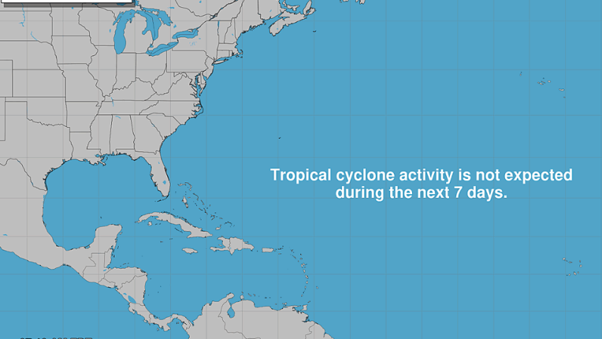
2026 Atlantic hurricane season peaks Thursday, is on track to be historically quiet
So far, the atmosphere has repeatedly stood up against tropical development.
-
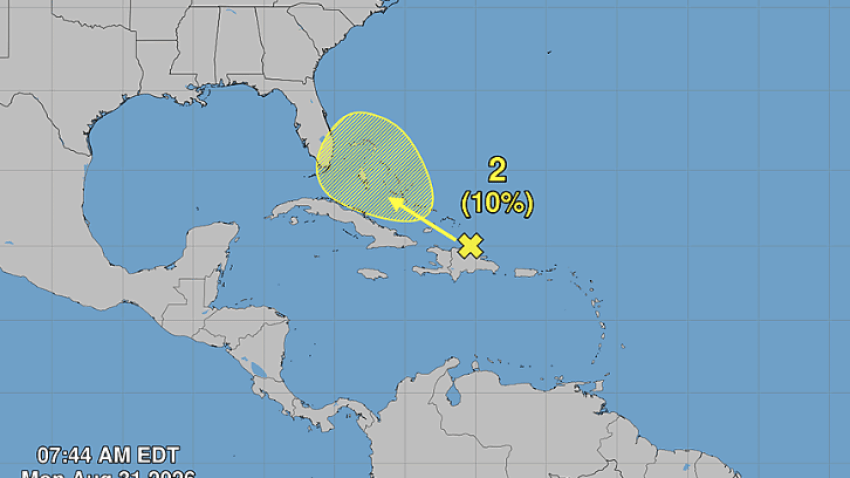
Dolly's remnants bring rainfall to the Caribbean, with low chance of redevelopment
Should the remnants head toward the NBC6 viewing area, the peak of the moisture surge would fall Thursday and Friday.
-
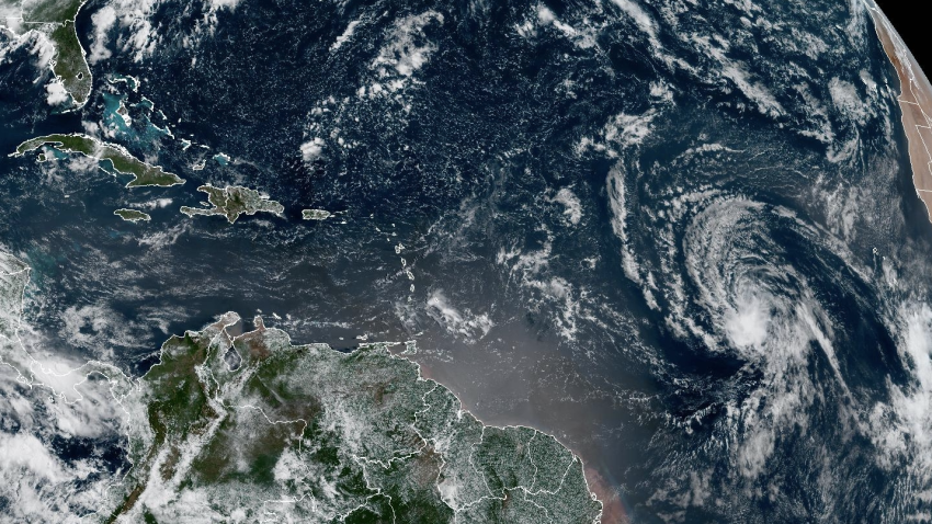
Tropical Storm Dolly forms in the central Atlantic
Thursday’s official forecast is for the system to travel westward for the next few days before upper-level wind shear stifles the system’s longevity.
-
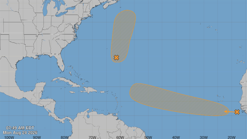
Forecasters watching 2 areas in the Atlantic for possible development, NHC says
The final week of August begins with two areas in the Atlantic that each have the potential for development over the next several days.
-
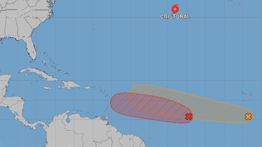
Tropical Storm Cristobal forms, as forecasters eye 2 other potential systems
Cristobal, the third system of the 2026 season, is currently in the central tropical Atlantic waters and moving east at 25 mph. With 45 mph winds and an elongated structure, it poses no threat to the United States.
-
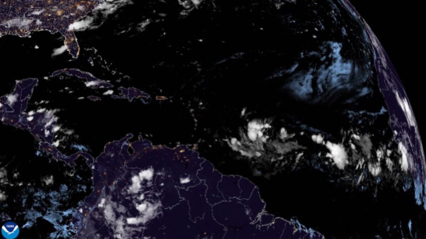
National Hurricane Center focuses on Central Atlantic for possible development
The National Hurricane Center continues to monitor an area of low pressure heading into the central tropical Atlantic.
-
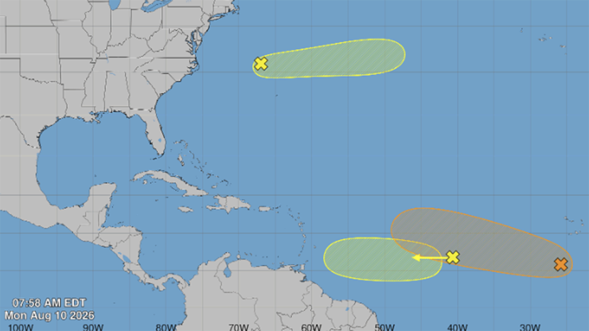
Atlantic hurricane season ramps up: What South Florida residents need to know
The month of August never fails to produce something worth watching in the Atlantic basin. Here in South Florida, a few of the storms that form become part of our history, while most fade quickly from memory.
-
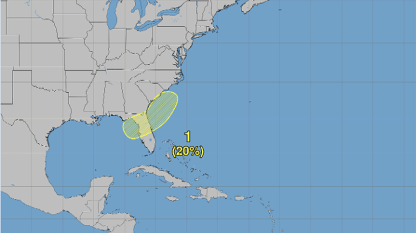
Forecasters watching potential tropical system in the Gulf
The early weeks of the 2026 Atlantic hurricane season have provided the results one might expect in a season predicted to be dominated by El Niño and forecast to produce a below-average number of systems.
-
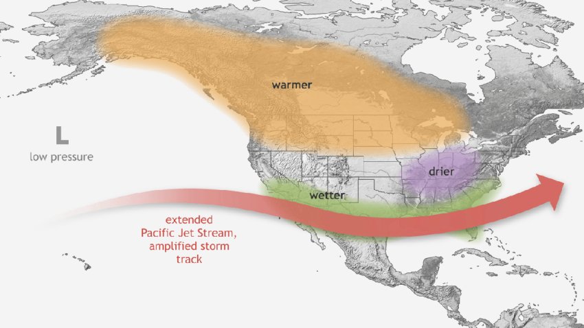
El Niño locks in, with impacts to hurricane season and South Florida weather likely
The global pattern with a notorious hand in extreme weather has settled into the Pacific, with the next wave of impacts yet to be known as conditions climb to, possibly, historic levels later this year.
-
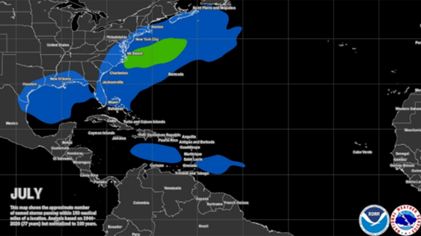
Hurricane Season: July has produced impactful storms but 2026 won't support it
July is underway, and there is still no sign of life in the tropics. The outlook remains equally quiet over the next two weeks, with no development expected.
