
When you enter into the City of Belle Glade a sign reads, “Her soil is her fortune.” But many people change the phrase to say, “Her people are her fortune.” The people who live in Belle Glade and the other small towns along the southern edge of Lake Okeechobee are hard-working, passionate, and inspiring people who live in an area known for its unique, nutrient- rich soil, known as Muck.
Today, the muck soils in the Everglades Agricultural Area grow more than 400,000 acres of sugarcane crop each year and play a major part in the state’s economy. But this sweet money-making crop comes with a bitter downside. During harvest season, farmers conduct pre-harvest burning, which releases particle pollution into the air.
For decades, the people who live in The Muck have discussed the potential environmental and health consequences of the practice. In this NBC 6 original documentary, Bittersweet Muck, NBC6 News Reporter Sasha Jones takes you inside the debate about air quality in Florida’s sugar country.
Meet the people of the Muck
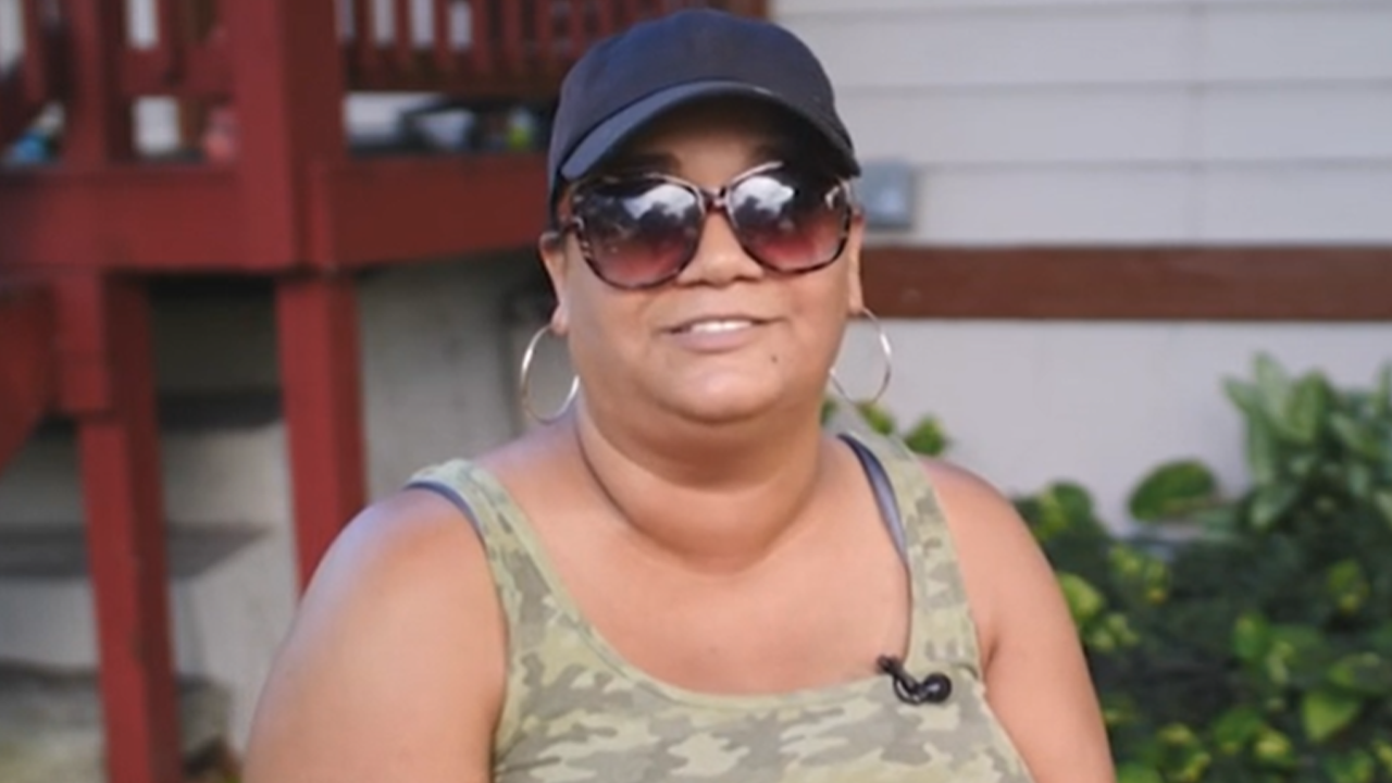
Luz Torres
Luz Torres is the daughter of an agricultural truck driver who grew up in Pahokee, Florida. She was raised in the Muck and is raising her two children in the area as well. She is a member of the Stop the Burn-Go Green Campaign, which is an environmental justice campaign aiming to replace pre-harvest sugarcane burning with a burn-free method.
State Rep. Rick Roth
Raymond “Rick” Roth is a third-generation farmer in the Glades. Roth Farms started operations in Florida in 1948 and are a founding member of the Sugar Cane Growers Cooperative. Roth is also a member of the Florida House of Representatives.

Colin Walkes
Colin Walkes is a resident of the Glades and member of the Stop the Burn-Go Green Campaign. He served as Mayor of Pahokee from 2013-2016 and during this time, he says, he started to raise concerns about the topic of pre-harvest sugarcane burning.

Janet Taylor
Janet Taylor was born and raised in Clewiston, Florida. She served as a Hendry County Commissioner for 22 years and is the founder and president of Glades Lives Matter. Glades Lives Matter is an organization that advocates for policies that impact glades residents and speaks out on sugar industry practices.

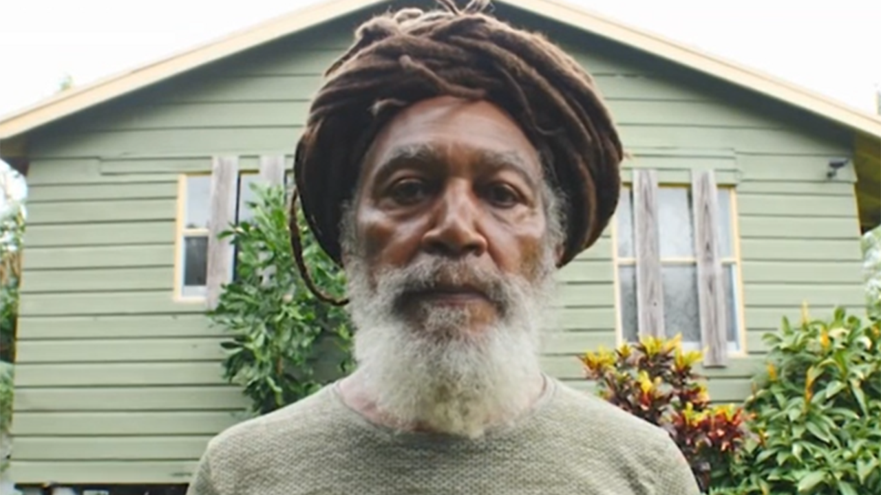
Ras Benjamin
Ras Benjamin was born in Jamaica but currently lives in the Glades. He moved to the area to live a sustainable life off the grid. He is a current member of the Stop the Burn-Go Green Campaign.
Burn permits spike during sugarcane burning season
Farmers must get permission to conduct agricultural burns from the Florida Forest Service, the state agency over burn authorizations. Burn permits are then approved or denied based on factors like wind direction, proximity to smoke sensitive areas, air quality, and smoke dispersion. Our analysis of a little over two years of burn authorizations show the number of authorized agricultural burns per day increase more than tenfold during sugarcane burning season in South Florida.
Smoke and Fire Satellite Imagery
The NOAA Hazard Mapping System shows potential fire locations and smoke on satellite imagery. These locations can be associated with biomass burning like agricultural fires, wildfires, and prescribed fires. The number of potential fire locations increase during sugarcane burning season, from October to May.
Fires in the Sugar Growing Region
A look at the monthly averages for the number of fire locations detected by the NOAA Hazard Mapping System on satellite imagery.
Source: NOAA
