
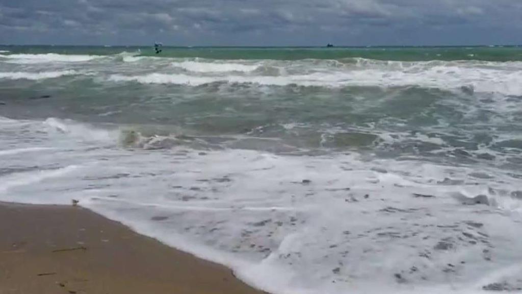
Tropical Storm Andrea formed in the east-central Gulf of Mexico on Wednesday and was producing heavy rain along Florida's west coast, the National Hurricane Center in Miami said.
At 11 p.m., the center of the Atlantic season's first named storm was located about 270 miles west-southwest of Tampa and 270 miles south-southwest of Apalachicola, the National Hurricane Center said.
It was moving at about 6 mph with maximum sustained winds remaining near 40 mph. Tropical storm force winds extend outward up to 140 miles.
A tropical storm warning was in effect for the west coast of Florida from Boca Grande to Ochlocknee River. A tropical storm watch was in effect for Flagler Beach to Surf City, N.C.
The hurricane center said a turn toward the northeast and an increase in forward speed are expected overnight and Thursday, and the storm was expected to speed up some more Thursday night and Friday.
The center of the storm is expected to reach Florida's Big Bend on Thursday evening. It will then move from southeastern Georgia across southeastern South Carolina and eastern North Carolina on Thursday night and Friday.
The storm was not expected to directly impact South Florida, but scattered showers and occasional thunderstorms were possible.
There is a 70 percent chance of rain in South Florida on Thursday, when the high temperature will be 85.
Local

Andrea is expected to deliver between 3 and 6 inches of rain over much of the Florida peninsula, eastern parts of the Florida Panhandle and southeastern Georgia, with up to 8 inches possible in some spots, the National Hurricane Center said.
More South Florida Weather Content:
