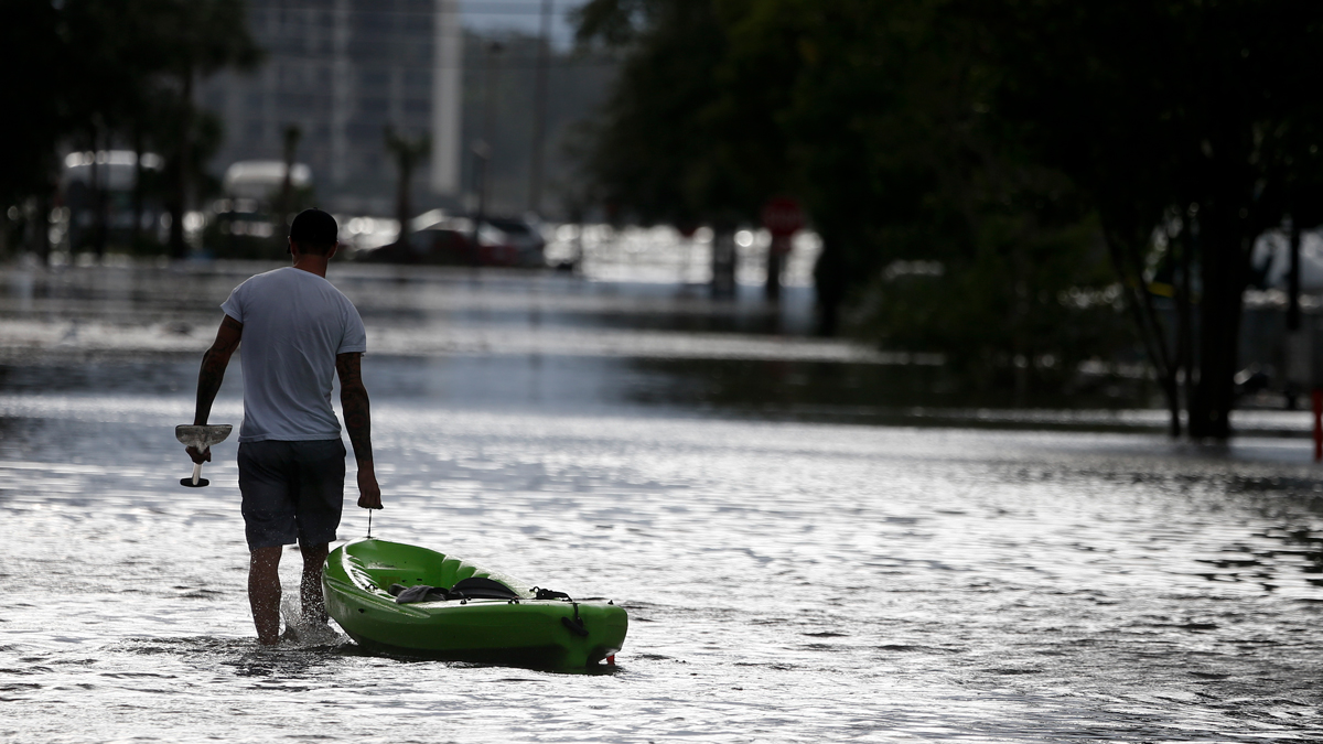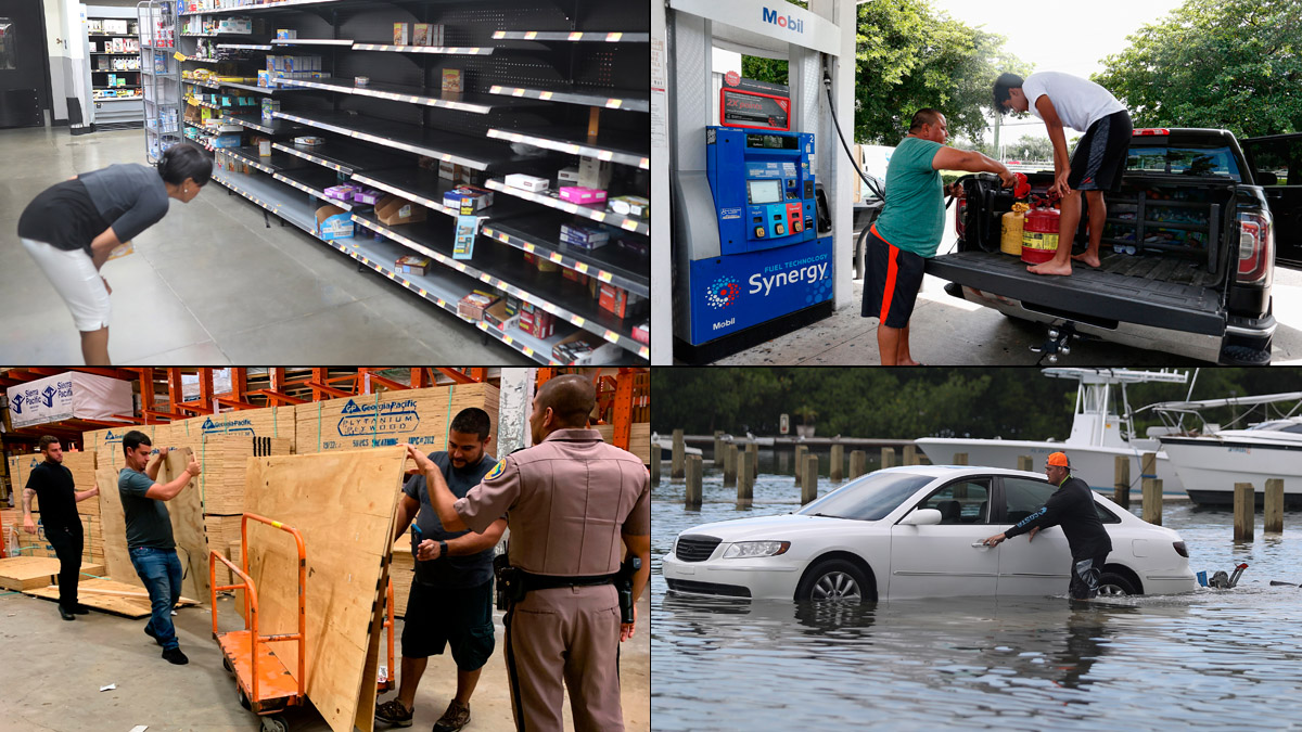
It’s the peak of the hurricane season and, for a little while anyway, we had two hurricanes in the Atlantic at the same time.
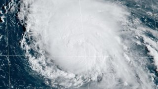
Today, though, Danielle weakened and then lost its tropical characteristics. But Earl is still going strong and is forecast by the National Hurricane Center (NHC) to reach Category 4 intensity once past Bermuda. It won’t be a direct hit for the British Overseas Territory, thankfully, as Earl’s eye is forecast to pass about 100 miles to the east in the predawn hours of Friday. A Tropical Storm Warning is in effect for Bermuda because of the potential effects of Earl’s outermost bands. There’s also a Hurricane Watch in place just in case the hurricane veers a little left of the track.
Given how climate change seems to be a frequent catalyst of unprecedented weather these days, you may not be surprised to know that Danielle and Earl are already meteorological oddities.
Danielle has set a new record for the longest-surviving hurricane north of the 37th parallel. That’s north of approximately Richmond, Virginia, over waters that are most definitely not tropical.
Get South Florida local news, weather forecasts and entertainment stories to your inbox. Sign up for NBC South Florida newsletters.
And with Earl forecast to become a 130 mph Category 4 hurricane in the central open Atlantic Ocean on Friday night, it would be the first time we would have ever seen such a strong hurricane so far north and east. It remains to be seen whether it will reach that strength, but that’s what the experts at NHC believe.
The reason we’re seeing hurricanes over colder latitudes where we normally would not is because of an intense marine heatwave that is encompassing a good portion of the North Atlantic this summer. Averaged across all of the world’s oceans, sea surface temperatures have risen approximately 1.5 °F since the end of the 19th century — a direct consequence of global warming.

Ocean temperatures are also pretty warm in the main tropical development region of the Atlantic between Africa and the Lesser Antilles, but other factors like dry air and stronger than expected wind shear have kept storms from forming.
The season’s storm tally is still running behind in a year that was unanimously forecast to be dangerously hyperactive. Even in a ho-hum year average season, we should see our eight named storm by Sept. 9. In 2022 so far, we’ve had only five. And the two hurricanes that managed to form did so in the subtropics and not in the hotter breeding grounds where we normally see them.
There is another tropical disturbance about midway between the west coast of Africa and the Greater Antilles that could become the next storm soon. The next name on the list is Fiona. But it is likely to turn quickly northwest and north before ever threatening the Caribbean or United States.
With all other 2022 storms having been so weak, we’re left with a first half of the season that’s going to be remembered for its remarkable oddity.
While there is no guarantee that the environmental conditions that have kept the season suppressed will continue, the clock is ticking and the calendar will soon turn to fall. I’ve still got my hurricane kit ready, but I’m hopeful that at the very least we might be able to escape without having to face the worst of the worst this year — the dreaded Cabo Verde hurricanes. We can only hope.
John Morales is NBC 6's Hurricane Specialist.