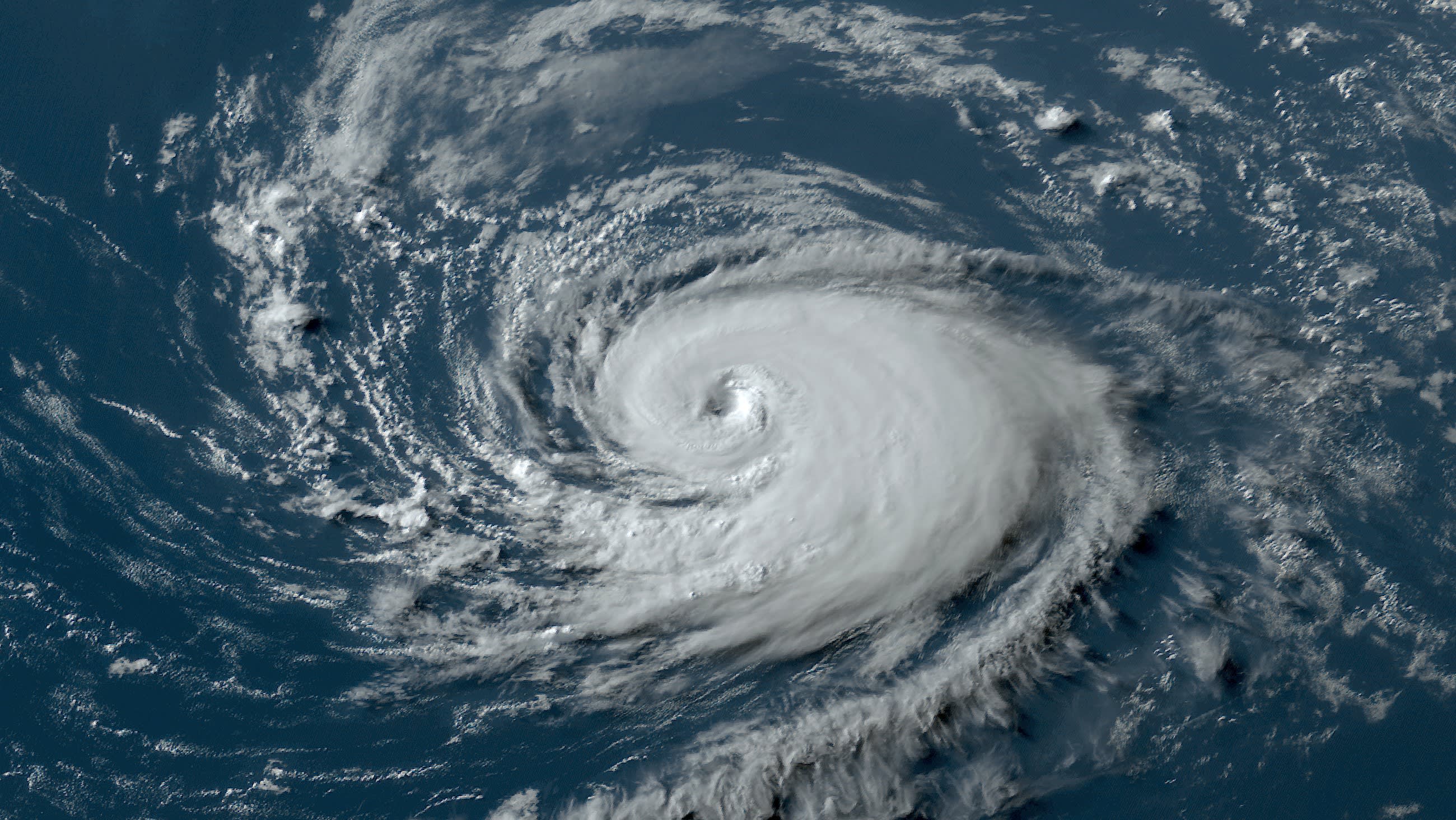
With the peak of the Atlantic hurricane season quickly approaching, there hasn’t been a named system for over three weeks.
That could change in the days ahead as forecasters at the National Hurricane Center in Miami are keeping an eye on two different areas in the tropical Atlantic and one potential development area in the western Gulf of Mexico.
The area in the Gulf has a low chance of formation over the next week, the NHC said.
But the two areas in the Atlantic now have a medium chance for formation, with a 60% chance for both, the NHC said Thursday.
Get South Florida local news, weather forecasts and entertainment stories to your inbox. Sign up for NBC South Florida newsletters.
In the days ahead, some modeling leans in to development, but there is no wholesale agreement to what the next several days will present.
One system could become a tropical depression over the next several days, the NHC said.
The other system could also become a tropical depression over the weekend, before conditions become unfavorable early next week, the NHC said.
Hurricane Season
The NBC 6 First Alert Weather team guides you through hurricane season
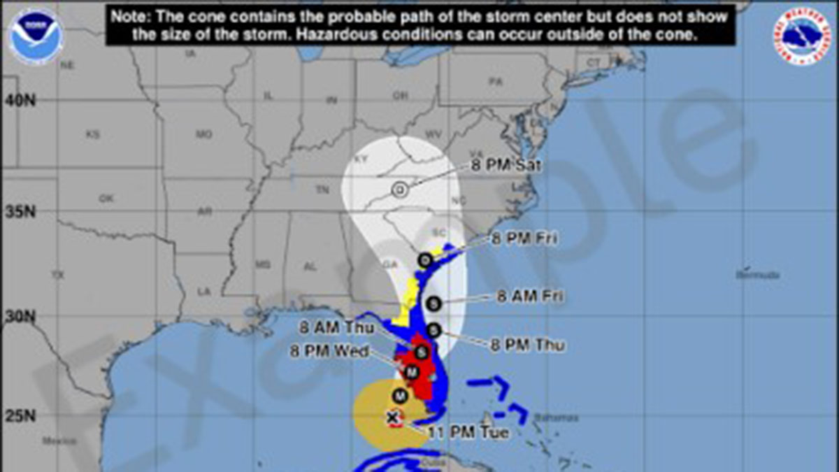
As of now, none of the systems were expected to impact Florida.
The background environment continues to present conflicting ingredients for any tropical formation.
The presence of exceptionally warm waters in the Gulf of Mexico and the tropical Atlantic present an ideal development for formation, but pockets of wind shear and patches of Saharan air have proven challenging for formation.
The peak of the Atlantic hurricane season is Sept. 10.
Over the last two weeks, the National Oceanic and Atmospheric Administration and Colorado State University have both boosted their forecasts for additional activity for the remainder of the season, which lasts until November 30th.


