
Massive Martin is a record-setter in the far North Atlantic.
Throughout much of the day on Thursday, Hurricane Martin maintained its intensity and, remarkably, its tropical characteristics. It’s remarkable because the hurricane was north of the 45th parallel — north of the latitude of Minneapolis!
The storm was also huge. Hurricane-force winds extended out 70 miles from the eye, and tropical-storm-force winds out beyond 500 miles from the center. The circulation dominated the geographical region between Canada and the United Kingdom, south of Greenland and Iceland.
Hurricane Martin is the first November hurricane on record in this part of the world — that far north in the Atlantic Ocean. When the hurricane formed on Wednesday and continued Thursday, it was crossing over waters that are as much as 4 degrees Fahrenheit hotter than normal.
Get South Florida local news, weather forecasts and entertainment stories to your inbox. Sign up for NBC South Florida newsletters.
As autumn progresses, the water in the North Atlantic normally chills pretty quickly. But in 2022, that water has been consistently warm and unable to cool fast enough to keep hurricanes from blossoming. Having Martin strengthen into a hurricane on Wednesday while Hurricane Lisa was approaching Belize meant that for the first time since 1932 there were two concurrent November hurricanes in the Atlantic basin.
If you’re wondering about those 1932 hurricanes: one was a Caribbean system that hit Camagüey, Cuba as a Category 4 on Nov. 9 and the other lived and died without hitting land in the subtropical Atlantic, peaking as a Category 2 on Nov. 8 before losing its tropical characteristics over 200 miles southwest of the Azores. The Azores sit between 37 and 40 degrees north latitude — Martin was located over 300 miles further north on Wednesday!
Warm North Atlantic waters are also to blame for another record-setting hurricane in 2022. After Hurricane Fiona raked Puerto Rico and the Dominican Republic with 100 mile-per-hour (mph) winds, flash floods and mudslides, it strengthened into the first major hurricane of the season and eventually into a huge Category 4 hurricane. Its large wind field produced a 93 mph gust in Bermuda.
Feeding off of those very warm waters, Fiona was able to keep its intensity even as it barreled northward towards Canada’s maritime provinces. It set a record for the lowest barometric pressure so far north in the Atlantic on Sept. 23.
Even though it lost its tropical characteristics before slamming into Nova Scotia, Fiona’s remnant cyclone set the mark for the lowest pressure by any storm ever recorded over Canadian territory (pending verification). On Nova Scotia, winds gusted to 111 mph. In the offshore waters of eastern Canada, waves peaked as high as 98 feet (30 meters).
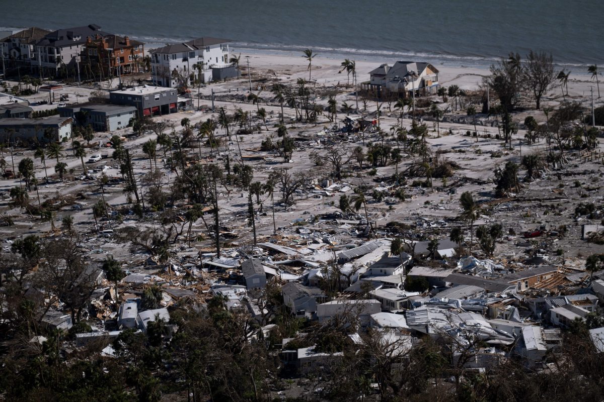
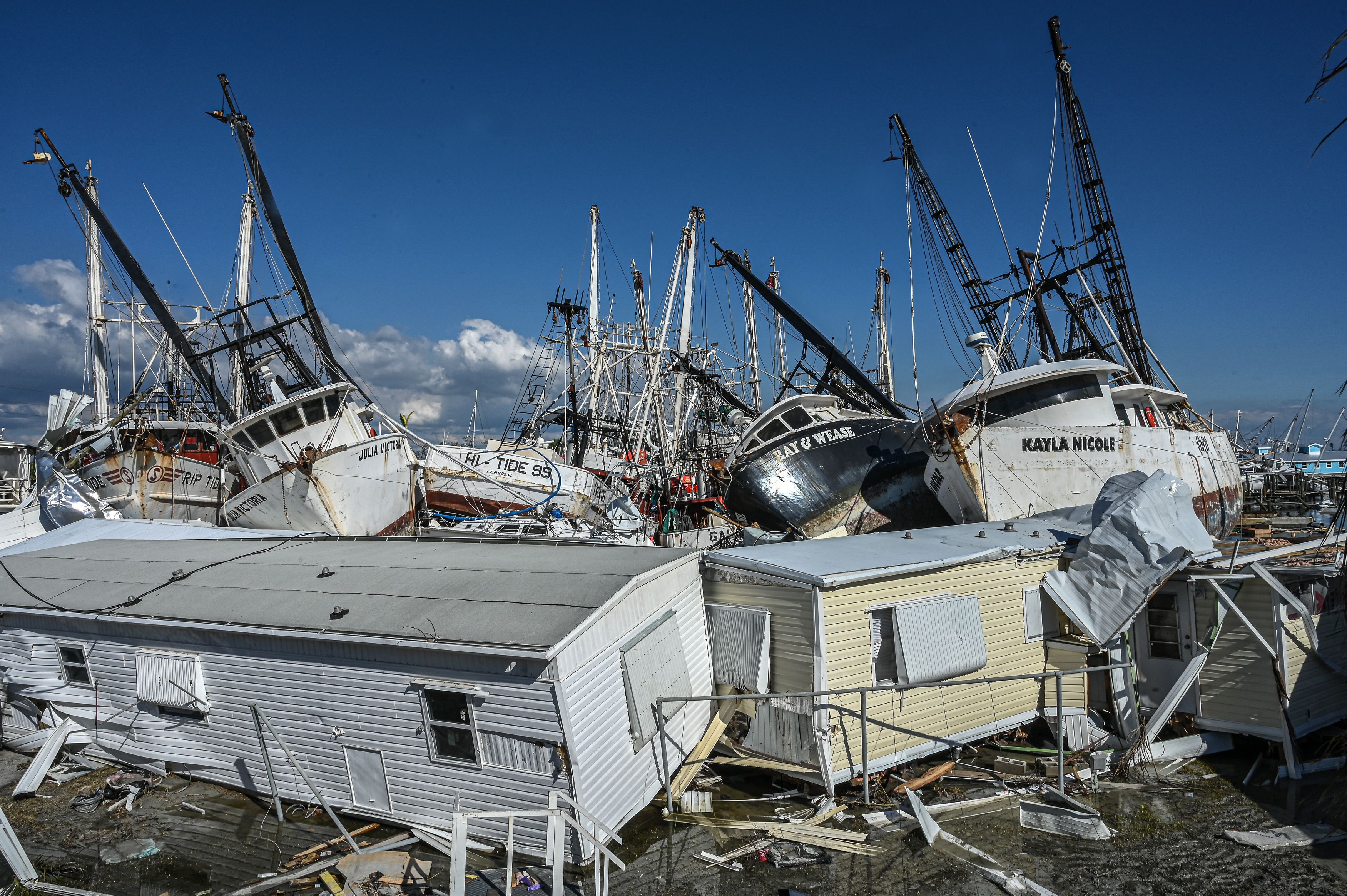
Ask yourself, how many times over the last few years have we been witnessing unprecedented weather events like Martin, Fiona, and even Ian? Far too often, in the opinion of this veteran weather expert.
Weather extremes are multiplying, driven by the warming climate. And yet, the atmosphere has only warmed by 2 degrees Fahrenheit over pre-industrial levels. Imagine if we get to 3, 4 or 5 degrees of warming.
It’s up to us to keep this from getting out of hand.
John Morales is NBC 6's Hurricane Specialist.
