
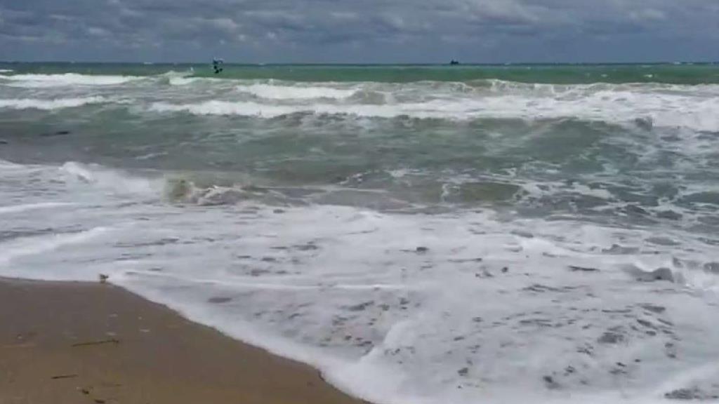
A flood watch will remain in effect in South Florida through Friday night as more storms were expected in the area.
The flood watch will be in effect for coastal and metro Broward and coastal and metro Miami-Dade, according to the National Weather Service.
"Recent rainfall accumulations have led to saturated ground across coastal and metro southeast Florida," the NWS said. "Additional excessive rainfall possible through Friday could lead to additional flooding."
Flash flood warnings were issued for portions of Miami-Dade and Broward Thursday afternoon as showers and storms moved through the area.
Get South Florida local news, weather forecasts and entertainment stories to your inbox. Sign up for NBC South Florida newsletters.
The first flash flood warning was issued for southern Broward and remained in effect until 5 p.m.
As of 1:49 p.m., City of Hollywood emergency management reported up to two inches of rain had fallen, with additional rainfall amounts up to three inches possible.
A second flash flood warning was also issued for parts of southern Broward and northern Miami-Dade until 5:15 p.m. Thursday.
A third flash flood warning was issued for a portion of southern Miami-Dade until 5:45 p.m. that included Cutler Bay, Palmetto Bay, South Miami Heights and other areas.
South Florida will be dodging rain through the work week and into the start of the weekend as the summer storm season is officially here.
The area will be stuck in this stubborn weather pattern featuring morning sunshine and afternoon storms through Saturday. Highs each day will top out in the upper 80s.
Local

It looks like the pattern begins to shift Sunday and into next week. South Florida will still see scattered afternoon storms Sunday but not quite the same coverage.
Early next week looks even drier. Highs will push back to the 90s.
