
It was a stormy Saturday in South Florida, including a tornado that appeared to touch down in Fort Lauderdale --prompting a tornado warning across Broward County.
South Florida was also experiencing the “Warm Sector” Saturday -- which is the area in between the warm front and cold front which is why it was warm, windy and humid.
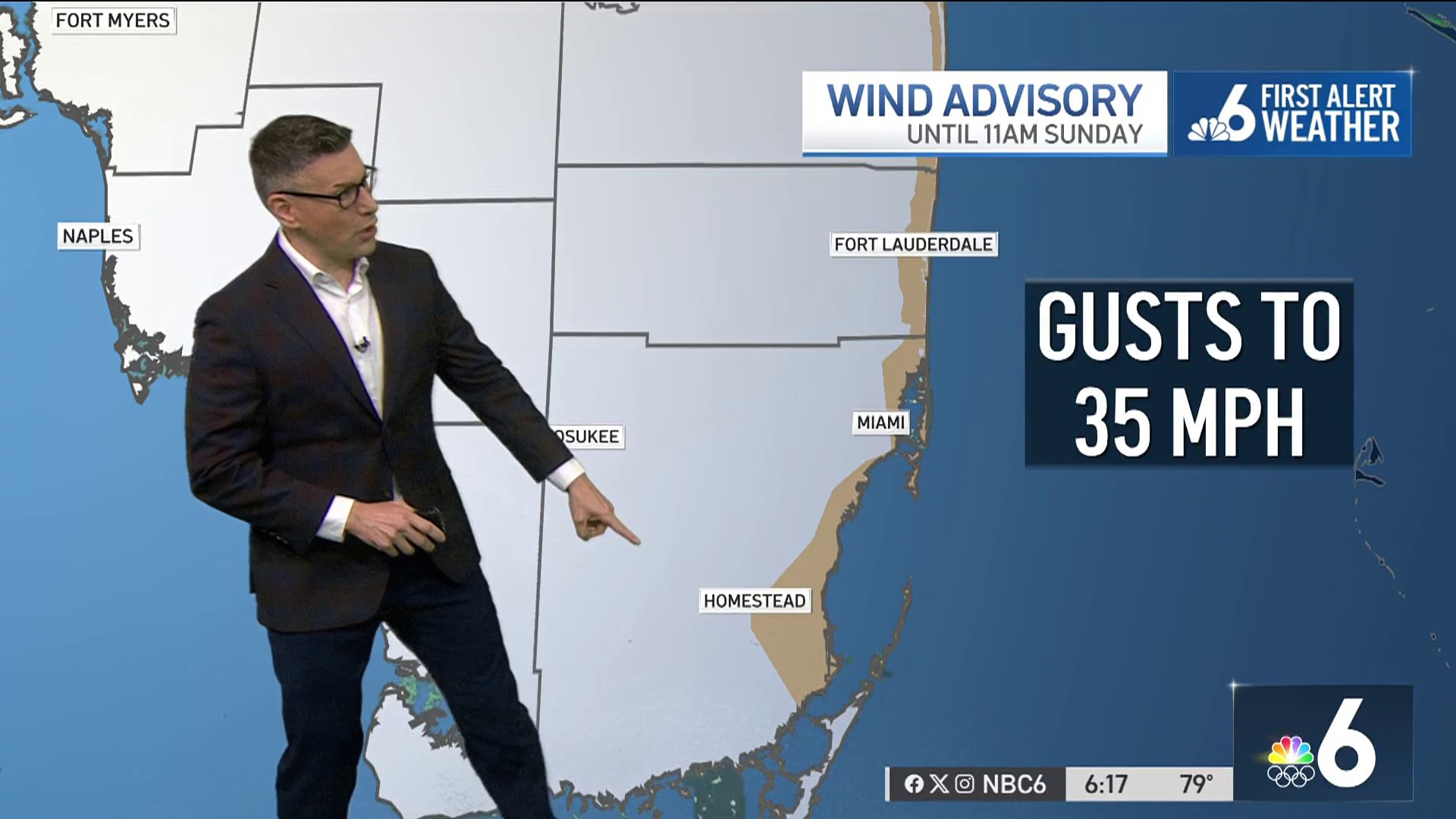
Saturday afternoon’s rain is out ahead of Sunday’s cold front, which comes through at lunchtime -- allowing for a drier afternoon.
Saturday evening will continue to feature showers and storms -- heaviest for our northern areas. The rain becomes more isolated overnight. The low drops to 69 degrees on Sunday morning.
Get South Florida local news, weather forecasts and entertainment stories to your inbox. Sign up for NBC South Florida newsletters.
Expect showers and storms on Sunday morning up until about 1 p.m. as the cold front passes through.
Once the front clears out, the humidity should drop like a rock -- meaning it will be very comfortable at the Dolphin’s game.
Sunday afternoon will still be mostly cloudy and a few lingering showers may pop up, but overall, it’s a drier forecast. The high is 77 degrees.

Monday is mostly cloudy, but pleasant with low humidity and a high of 74°. Heavy rain is still on track for Tuesday night with a cold front that should be out very quickly on Wednesday morning. This means we will wake up to some clouds, but that sun works in rapidly.
