
The newly formed tropical storm has been defying odds since it was just a storm seedling on Tuesday. At the time the disturbance was still called Invest 96L, and it looked to be falling apart due to a hostile environment caused by dry air and unfavorable upper level winds.
But on Tuesday night, thunderstorms started to grow stronger and more concentrated near the system. By Wednesday morning, the National Hurricane Center (NHC) declared that a new tropical depression had formed about 1000 miles east of the Caribbean.
On Wednesday night, satellite sensors that are able to remotely measure wind direction and speed from space detected a broad but closed-off counterclockwise circulation, with winds as high as 50 miles per hour (mph). So NHC sent a special bulletin between their regularly scheduled advisories at 9:45 PM to baptize the sixth named storm of the 2022 Atlantic hurricane season - Fiona.
The name Fiona was first used in 2010. It replaced Frances on the list of storm names after Category 2 Hurricane Frances hit Florida between Port St. Lucie and Fort Pierce in 2004, causing five deaths in the state and over $14 billion (adjusted to 2022 dollars) in damages. At the time, Frances ranked as the fourth costliest hurricane in U.S. history behind Andrew (1992), and Charley and Ivan (2004). Therefore, the name Frances was retired.
Get South Florida local news, weather forecasts and entertainment stories to your inbox. Sign up for NBC South Florida newsletters.
When storm names are not retired, like Frances was, then they get reused every six years. The 2010 and 2016 Fionas were, thankfully, pretty forgettable storms. Neither strengthened into a hurricane or hit land. But 2022’s version of Fiona has a high likelihood of reaching populated islands in the northeastern Caribbean on Friday and the weekend.
A Tropical Storm Watch was in effect as of Thursday morning for a good portion of the Leeward Islands from Montserrat to Anguilla. A similar advisory will be issued on Thursday for the British and U.S. Virgin Islands, followed by the Puerto Rico archipelago.
While there is some uncertainty in the forward speed of the tropical storm, conditions in the Lesser Antilles would start to deteriorate on Friday, followed on Friday night in the Virgin Islands, and then Puerto Rico on Saturday. Further west, the Dominican Republic might not see tropical storm force winds arrive until Saturday night.
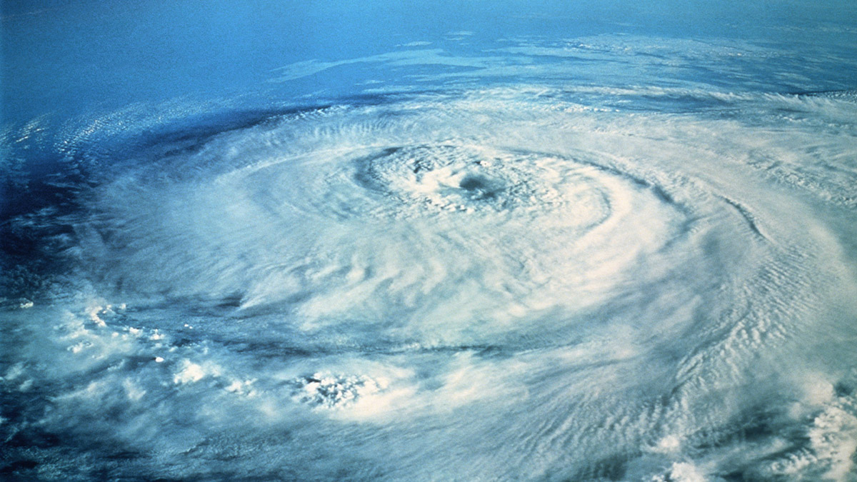
Tropical Storm Fiona

While these locations are in for flooding rains, potential mudslides, and significant wind gusts, the atmosphere surrounding Tropical Storm Fiona does not support it strengthening into a hurricane. NHC forecasts Fiona to maintain mid-level intensity for a tropical storm, with maximum sustained winds between 50 and 60 mph for its entire forecast track through the islands. The hurricane specialists at NHC suspect that continued upper level westerly wind shear and dry air will keep Fiona’s strength in check.
But Fiona has already surprised forecasters, including me, in overdelivering in the face of significant obstacles. So, for residents of the Leeward and Virgin Islands as well as Puerto Rico and the Dominican Republic it’s time to heed the advice of local authorities and prepare for tropical storm conditions this weekend. Tropical storms do not require storm shutters, but preparations for floods and power outages are definitely in order.
For the Bahamas and Florida, the official NHC forecast has Fiona turning northwest and out to sea, with only the easternmost Bahamas currently in the cone of concern. But if Fiona is eventually weakened by the hostile conditions it is facing, then that track could extend a bit further west.
It’s best to continue monitoring the storm’s progress.
