
I knew what would happen. And I lost it.
A year ago Thursday I was in the NBC6 studios watching in horror as Hurricane Ian, on approach to Florida, intensified into a Category 5 cyclone. As the hurricane specialist on the NBC6 weather team, I had been on the air for days warning about how Florida had a big "water problem" with Ian — the combination of storm surge and biblical rains would swamp densely populated parts of the state.
It wasn’t hard for me to predict, days ahead of landfall, that Ian would become the worst disaster in the history of Florida.
JOHN MORALES ON HURRICANE SEASON
Get South Florida local news, weather forecasts and entertainment stories to your inbox. Sign up for NBC South Florida newsletters.
That afternoon, the station’s general manager came downstairs to check on his troops. He pulled me aside and asked how I was holding up. I looked at him and couldn’t quite answer. My eyes watered and with a breaking voice I finally said, "It’s horrible. I know I’ve been doing this a long time. But to think of all those people about to lose everything is hitting me hard."
The boss comforted me. I quickly regained my composure as he reminded me of the importance of our work in trying to keep people safe, even if we were outside of Ian’s strike zone.
The audience, of course, never saw any of that behind-the-scenes drama. But I’m sharing it here because I think people need to start looking at Florida’s ever-present hurricane threat in a new and concerning way.
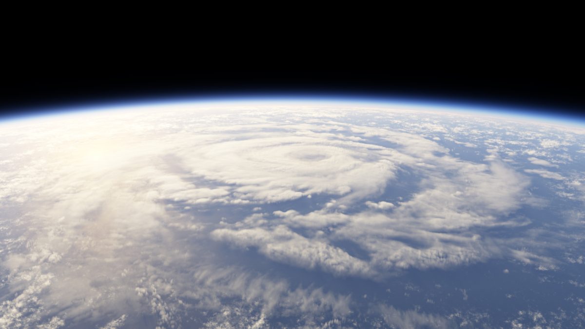
Gone are the days when category 4 and 5 hurricanes were extremely rare. Sure, Florida has been hit by those catastrophic cyclones in the past. Andrew in 1992 and the Great Miami Hurricane of 1926 come to mind.
But now they’re much more common — Idalia and Franklin this year; Fiona and Ian last year; Ida and Sam in 2021; Laura, Teddy, Delta, Eta and Iota in 2020; Dorian in 2019; Florence and Michael in 2018; plus Harvey, Irma, José, and María in 2017.
That’s 18 category 4 and 5 hurricanes in 7 years, a rate of over 2.5 catastrophic hurricanes a year. And that's just in the Atlantic!
With 90% of the excess heat caused by manmade climate change being absorbed by the oceans, sea surface temperatures have been climbing for decades, even faster in recent years. In 2023, the Atlantic has been record hot.
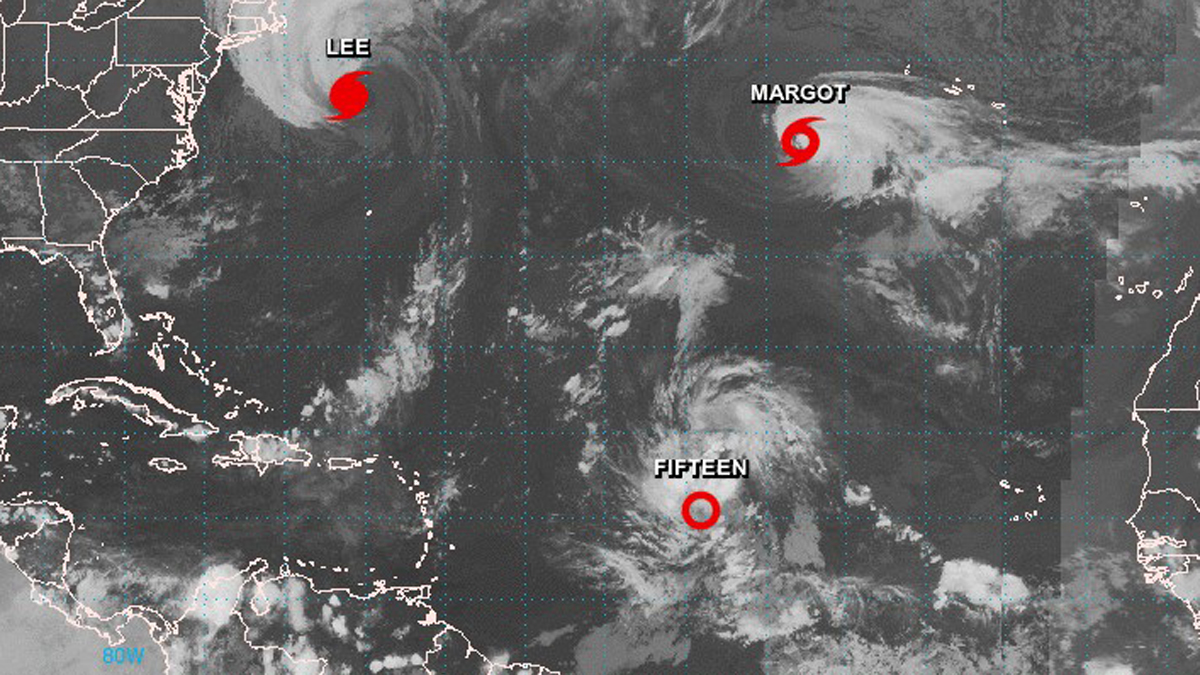
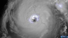
Since tropical storms derive their energy from warm water, rapid intensification is now being observed in a greater percentage of them. Sometimes, that intensification happens at unbelievable rates, like when Hurricane Lee saw an 85 mph jump in maximum windspeed in 24 hours this summer.
A nightmare scenario for me these days is having a tropical storm in the Central Bahamas on a Thursday making landfall in Miami as a category 4 hurricane on a Friday. The further we progress into the 21st century, the more wary I become of a monster hurricane surprising a major Florida metropolis like Miami or Tampa.
I still keep my cool on the air. Rarely in my 32 years in broadcasting has the audience seen or heard me expressing grave concerns. But it’s becoming harder to stay chill.
That’s the adjustment I’m asking everyone to make: be warier, like me. No need to panic. But if there are tropical cyclones with a chance of hitting where you or your loved ones live, you need to pay attention — now more than ever. You need to err on the side of caution.
You need to be prepared for hurricanes like Ian to head your way someday — because they will.
John Morales is NBC6's hurricane specialist.
